

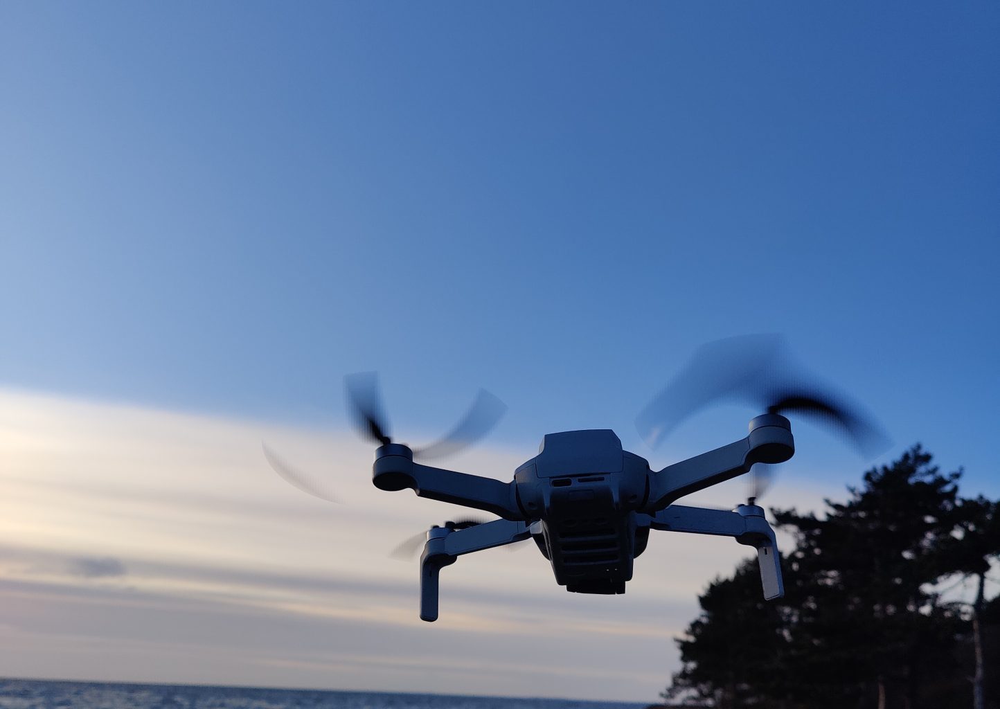
Continuing from where I left off with our small drone on the Baltic coast — the next question we faced was what would happen if we ever took it to the UK. Friends asked us once whether we’d bring the drone to film some coastal landscapes during a planned visit to Cornwall, and the honest answer is that the UK has some of the strictest drone rules in Europe, and they got noticeably stricter on 1 January 2026.
The threshold for needing a Flyer ID dropped from 250g to just 100g for any camera drone, which means almost every consumer drone sold today now requires registration and a free CAA theory test before you can legally take off. New drone models sold in the UK from January 2026 must carry a UK class mark (UK0 to UK6), and night flights now require a green flashing light visible throughout the flight. The fine for flying inside an airport’s Flight Restriction Zone without permission can include actual prison time.
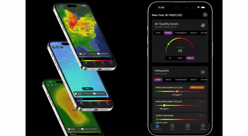
If you fly a drone in the UK — whether you live there or you’re visiting from elsewhere — having a reliable airspace compliance app on your phone is no longer optional. Drone Assist is the most widely used free flight planning app in the UK, developed by Altitude Angel in partnership with British aviation authorities, and it’s the closest thing to an official drone safety tool the UK has.
Our Locals Insider review of the Drone Assist covers what it does, who it’s for, how it compares to alternatives, and our honest take after looking at it as someone who might want to fly a drone in the UK as a visitor.
What is Drone Assist
Drone Assist is a free flight planning app developed by Altitude Angel, a Reading-based UTM (Unified Traffic Management) technology provider founded by Richard Parker. The platform was originally launched in 2016 and went through a major relaunch in 2023-2024 that consolidated all of Altitude Angel’s previous apps into a single, more capable Drone Assist platform.
The relaunch was beta-tested with over 400 active contributors from the UK drone community, and the resulting version added enhanced flight planning tools, polygon and waypoint drawing, pilot profiles, aircraft management for logging operator hours and airframe time, and direct connection to Altitude Angel’s UTM platform with one-tap flight authorisations at connected airports.

The app is primarily designed for the United Kingdom and integrates directly with UK airspace data including NATS AIS, Flight Restriction Zones (FRZs) around airports, Aerodrome Traffic Zones (ATZ), and temporary flight restrictions. It does work in other countries — Altitude Angel also operates GoDrone in the Netherlands and Ninox Drone in Norway through partnerships — and global coverage continues to expand.
But for UK pilots specifically, Drone Assist is the most trusted free option, and the depth of UK-specific data is significantly better than what you’d get from general-purpose international drone apps.
The app is used by drone pilots, general aviation pilots, balloon pilots, and other airspace users — giving you visibility into who else might be flying in the same area, not just other drones.
How Does Drone Assist Work?
You can use Drone Assist to plan and report your intended flight area, identify no-fly zones, check airspace restrictions, and access weather information before taking off. The app is genuinely simple to use, which matters because most casual drone owners (myself included) won’t open a complex app every time they fly.
After downloading the app from the App Store or Google Play, you can choose between three map views — standard, satellite, or traffic. The homepage search bar lets you find any UK location, and the map immediately overlays the relevant airspace information for that area. Everything is colour-coded so you can see at a glance whether a location is safe to fly, restricted, or completely off-limits.
You can filter the map view to show specific airspace categories: Aerodrome Traffic Zones (the airspace around airports), Flight Restriction Zones (the legally-protected zones extending roughly 5 km around runways), Navigation Warnings, Unusual Activity reports from other pilots, Airports, Temporary Flight Restrictions (used for emergencies, royal events, sporting fixtures, or other temporary events), and Ground Hazards reported by the community.
The weather tab shows current temperature, chance of rain, cloud cover, atmospheric pressure, and visibility, plus a one-hour ahead forecast. For drone flying, visibility and wind matter more than temperature, and having this data alongside the airspace check in one app is convenient.
The standout 2024 relaunch feature is the ‘Fly Now’ function, which lets you share your planned flight location with other Drone Assist users and the wider drone community. This works in both directions — you can avoid areas where other drones are operating, and you can alert other pilots to your own activity. It’s a small but meaningful safety feature, particularly in popular flying areas where multiple hobbyists might be operating simultaneously.
For UK pilots specifically, the one-tap flight authorisation feature at connected airports is the most operationally valuable capability. Instead of having to phone the airport’s Air Traffic Control to request permission to fly inside an FRZ, you can submit the request digitally through the app — saving significant time for pilots who fly regularly near airports for professional work.
How to Use Drone Assist
Here’s the typical workflow when planning a flight, using a fictional example of wanting to film coastal cliffs near a small UK town.
- Open the app and either search for the location by name or zoom into the map. The colour overlay immediately shows you which airspace zones intersect with your intended flight area. If you’re inside or close to a Flight Restriction Zone, a red warning appears.
- Tap any zone on the map to see its full details — including the controlling authority, contact details, altitude limits, and any current NOTAMs in effect. Some FRZs require advance authorisation, while others are absolute no-fly zones with no authorisation possible for hobby use.
- Use the flight planning tools to draw your intended route — either as a polygon (the area you’ll be flying in) or as a series of waypoints (a specific flight path). The advanced drawing tools let you adjust altitude and time bounds.
- Check the weather tab for current and one-hour forecast conditions. If the weather is borderline, save the plan as a draft and revisit it closer to the planned flight time.
- Once ready to fly, activate the ‘Fly Now’ feature so other airspace users know you’re operating. After landing, the mission saves to your pilot profile and aircraft management log, which is useful evidence of operational experience if you ever pursue more advanced certifications.
For occasional hobby flying, steps 1 and 2 alone — checking whether the area is legal before takeoff — are the most important. Skipping them is what gets pilots fined or arrested.
Pricing & Plans: How Much Does Drone Assist Cost?
Drone Assist is 100% free to download and use, with no subscription required to access any of the core features described above. This is one of the reasons it has effectively become the default flight planning app for UK drone pilots — the barrier to using it is zero, the data is reliable, and Altitude Angel monetises the underlying UTM platform through its enterprise customers (airports, air traffic control providers, and commercial drone operators) rather than charging individual pilots.
The free model also means there are no premium-tier features locked behind a paywall the way many drone apps work. Every user gets the same airspace data, the same flight planning tools, the same weather information, and the same access to the ‘Fly Now’ community feature.
Is Drone Assist Legit? Reviews & Ratings
Drone Assist is highly rated on both major app stores:
Google Play Store rating: 4.5/5.0 (around 1,020 reviews) App Store rating: 4.6/5.0 (around 910 reviews)
The most consistent praise centres on accuracy — pilots trust the airspace data, which is the single most important thing a drone compliance app can get right. The 2024 relaunch generally improved user sentiment, particularly the new flight planning tools and the cleaner interface.
A representative Google Play Store review reads: “Excellent app. I’m pleased I used it before I took my new drone out to fly. I knew I was close to a high-risk no-fly zone (several actually), but wasn’t sure how close. It turned out I needed to travel a few hundred meters to not risk five years in prison. Can’t fault it or the information it gives” — Andy X.
The reference to potential prison time isn’t an exaggeration. Under the Air Navigation Order 2016 and related UK legislation, endangering aircraft or flying inside an FRZ without authorisation can result in unlimited fines and up to five years’ imprisonment for the most serious offences. Less serious breaches still carry fines up to £1,000 plus potential prosecution. The app genuinely saves people from this kind of trouble.
Locals Insider tip on the 2026 UK drone law changes:
if you’re visiting the UK with any drone weighing 100g or more, you now need both a UK Flyer ID (free, requires a 40-question online theory test) and an Operator ID (£10.33 per year, must be visibly displayed on the drone). Your home-country drone registration doesn’t count — the UK requires its own.
This applies to almost every popular consumer drone including the DJI Mini series and the DJI Flip. The Flyer ID test takes about 30 minutes and can be done online in advance of your trip. Skipping registration and flying anyway risks fines plus the actual confiscation of your drone.
Drone Assist’s Pros and Cons
The strengths:
- 100% free with no premium tier or feature gating,
- the most trusted UK drone airspace data available in a free app,
- direct integration with Altitude Angel’s UTM platform for one-tap airport authorisations,
- advanced flight planning tools (polygon and waypoint drawing),
- pilot profiles and aircraft management for tracking operational experience,
- useful community ‘Fly Now’ feature for situational awareness,
- weather forecast integration, intuitive colour-coded map interface,
- regularly updated with new UK airspace data, developed in partnership with UK aviation authorities,
- used by general aviation and balloon pilots in addition to drone operators which makes airspace coordination genuinely collaborative.
The trade-offs:
- primarily UK-focused, so international travellers using the app abroad won’t get the same data quality as in Britain;
- the global expansion is real but incomplete;
- some advanced UTM features are only available at airports that have partnered with Altitude Angel, which is a growing but limited list;
- the app doesn’t tell you whether you’re personally qualified to fly in a given zone (you still need to know your own Flyer ID status, drone class, and operational category);
- and the interface, while improved in 2024, still has a learning curve for first-time drone owners who don’t know aviation terminology.
Alternatives to Drone Assist? Try Drone Buddy
Drone Buddy, operated by Kirway LLC, is the most widely used Drone Assist alternative for pilots flying outside the UK. It covers airports worldwide — including the US, UK, Canada, and dozens of other countries — making it a better fit for international travellers and pilots who fly across multiple jurisdictions.
One feature that genuinely differentiates Drone Buddy from Drone Assist is the dynamic flying hub, where you can connect with drone pilots and businesses for jobs, inspections, surveys, or training opportunities. This community and marketplace angle is something Drone Assist doesn’t offer — Drone Assist is focused purely on compliance and flight planning, while Drone Buddy adds a networking layer for pilots who want to commercialise their skills.
Drone Buddy also includes an integrated news section with current drone press releases and industry articles, which is useful if you want to stay on top of regulatory changes without subscribing to separate drone publications.
The trade-off is pricing. Drone Assist is 100% free with no tiers, while Drone Buddy has a free tier but locks the most useful features behind a Pro subscription costing $34.99 per year or $99.99 for a lifetime subscription. For UK pilots, paying for Drone Buddy when Drone Assist offers better UK-specific data for free doesn’t make obvious sense. For US pilots, the choice is different — Drone Buddy is more useful in America than Drone Assist, which has weaker US airspace coverage.
For European pilots who want a more business-oriented platform with deeper enterprise features, Airhub (covered separately in our Airhub review) is also worth considering, particularly for serious operators flying DJI drones who need waypoint missions and detailed pre-flight risk analysis. For US-specific compliance with LAANC and B4UFLY integration, the AirHub® Portal by Airspace Link (a different product despite the similar name) is the most established free option.
The right app depends on where you fly. For UK pilots, Drone Assist is the natural default. For international or US pilots, Drone Buddy or AirHub Portal are stronger options. Many serious drone operators end up using multiple apps depending on the country they’re flying in — there isn’t a single universal compliance app that works equally well everywhere.
Locals Insider · Tech Buying Guide · 2026
The top ten private drones for UK & European buyers
Ten drones our editors ranked for image quality, value, portability and feature depth — including French-made and sub-250g picks that suit European drone categories. Buying links go direct to verified UK and European retailers.
DJI Mavic 4 Pro
Best for professional photography
Key Attributes
100MP Hasselblad camera · 6K video · 51-minute flight time
Where to Buy
DJI Air 3S
Best for most buyers
Key Attributes
Dual cameras · Obstacle avoidance · Smart tracking
Where to Buy
DJI Mini 4 Pro
Best for travel and city breaks
Key Attributes
Under 250g · 4K HDR video · Compact, fold-flat design
Where to Buy
Autel EVO Lite+
Best DJI alternative
Key Attributes
1-inch sensor · 6K video · 40-minute flight time
Where to Buy
HoverAir X1 Pro Max
Best for beginners and creators
Key Attributes
Pocket-sized form factor · Autonomous tracking
Where to Buy
DJI Flip
Best for casual travellers
Key Attributes
Foldable design · AI tracking · Lightweight
Where to Buy
DJI Neo
Best for first-time drone owners
Key Attributes
Palm take-off · AI subject tracking
Where to Buy
Parrot Anafi Ai
Best European-made option
Key Attributes
4G connectivity · Enterprise-grade features
Where to Buy
Autel EVO Nano+
Best lightweight travel drone
Key Attributes
Under 250g · Obstacle sensing · 4K video
Where to Buy
Potensic Atom 2
Best for budget buyers
Key Attributes
Under 250g · 4K camera · GPS stabilisation
Where to Buy
Editorial note. Always confirm current pricing, regional availability and EASA / CAA Open Category compliance (A1, A2 or A3) before purchasing.
For more on travel gear and apps, you might find our 12 best travel gadgets list, our best travel apps roundup, and our long-haul flight accessories guide useful starting points.